Brecon Beacons & The Welsh Guards Museum
The campsite we were at was an ideal base to explore the Brecon Beacons but we probably hadn't realised how large the area covered is and it would have been impossible to explore the Beacons adequately in the time available. In order to do this well we needed a plan which we did not have and therefore we only saw a small part at the north-east corner where the visitors' centre is located and the town of Brecon itself. On another visit we will find a campsite more central and see some of the awesome sights such as the breathtaking waterfalls, the sky at night (the Brecon Beacons is one of only 11 International Dark Sky Reserves in the world), the mountain railway and the legendary castles apart from, of course, the mountainous peaks. Oh to be young again and fit enough to walk the Beacons; I would have to bike it and even that might be a strain.
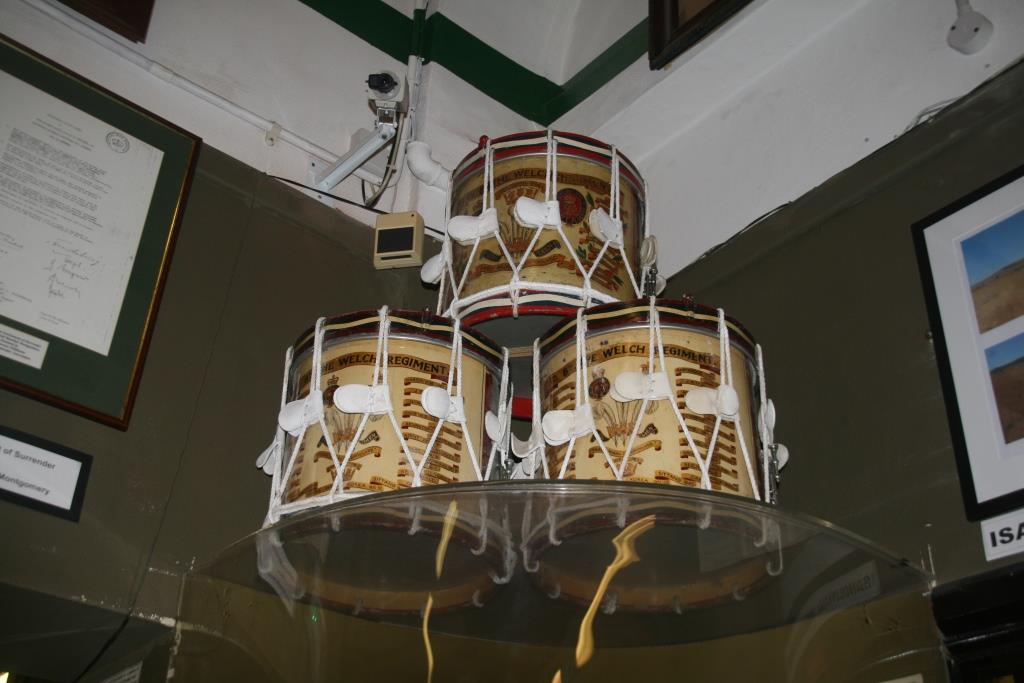
We did, however, have a very interesting walk round the Museum of the Welsh Guards at Brecon, which has a superb collection of memorabiliar and information on battles fought by the Welsh Guards such as at Rorkes Drift where 7 out of 11 VCs won were awarded to soldiers of the 24th Regiment of the Welsh Guards. Like most people who have seen the film starring Michael Caine and Stanley Baker, I was especially interested to read the citations (Link to VC Citations). The museum is free to enter with a donations box at the exit if you want to contribute.
From Brecon we continued on to Crickhowell famous for the bridge across the River Usk. The bridge is the longest stone bridge in Wales and is best viewed from the other side from where we were standing; the location is spoilt a bit by the shear volume of traffic going across in both directions (controlled by traffic lights). The land on our side is often flooded as the river overfows in extreme waether and we were stood next to the Bridge End Inn which was severely devastated by floods during Storm Dennis in February 2020 and is still closed.
Historical Note:
People through the ages have moulded the Beacons into what we see today today. Firstly prehistoric people cleared much of the land of trees and scrub and left their mark in the stone circles, standing stones, burial chambers and hillforts scattered across the landscape. The Romans then came and left their camps, forts and glimpses of their road engineering. Notable amongst these ancient structures is the crannog, an Early Medieval lake dwelling recently rebuilt at Llangors Lake.
History tells it that in the 5th Century the local ruler is said to have sent his daughter to Ireland in search of a husband. Although many of her retinue of guards died on the journey, she found her Irish Prince and their son, Brychan, was sent to Wales to grow up at the Court of his grandfather. It is from the name 'Brychan' that the old country name of Brysheiniog and later 'Brecon' was derived. One of his daughters, called Tudful was killed by Barbarians and the welsh for martyr is merthyr, hence the settlement of Merthyr Tydfil 20 miles to the south got its name. The legendary King Brychan and his descendants, then ruled this part of Wales, prior to the Norman conquest in the 11th Century.
Brecon has a long history dating back to its formation as a new town in 1093 or thereabouts, when Bernard de Neufmarche was given the area by William the Conqueror. Bernard de Neufmarch and his knights had to fight the Welsh to get it, but when they had killed Rhys ap Tewdwr and his brother-in-law Bleddin ap Maenarch he built Brecon castle on a mound skirted by two rivers, the Usk and the Honddu (pronounced Honthee). The castle (which I'm annoyed I didn't get to see) and the town were both built by the Normans from which they intended to control their new lands.
The Normans brought a lot of strife and so in response many castles were built; Carreg Cennen being an outstanding example. The monastic orders who arrived in their wake took charge of large swathes of land building beautiful monasteries such as Llanthony Priory. On their smallholdings ordinary people farmed sheep, cattle and pigs and gathered firewood, turf and peat.
This centuries old pastoral scene was disrupted by the Industrial Revolution during the late 18th and into the 19th century. Just beyond the current Park’s boundary, the South Wales Valleys were changing out of all recognition due to the hunger for coal and iron and as a result people quarried deposits of limestone, silica rock, sand and ironstone here and there across the Park.
What is now the Monmouthshire and Brecon Canal was completed in 1812 and, linked to a network of tramroads and railways they became important transport corridors. Around the turn of the 20th century some of the relatively remote Beacons valleys were transformed into reservoirs supplying the growing population of the mining valleys and Cardiff with clean water. It was at the start of the 19th Century which first saw the Central Beacons being used for military practice, which continues to this day. This includes it being the place where the MoD select men and women for the SAS based at Credenhill (around 20k from our campsite).
The Central Beacons massif is now owned and managed by the National Trust for the twin purposes of conserving wildlife and habitats for the future. They, along with other landowners including the National Park Authority, which owns just under 11% of the land area look after this national asset.
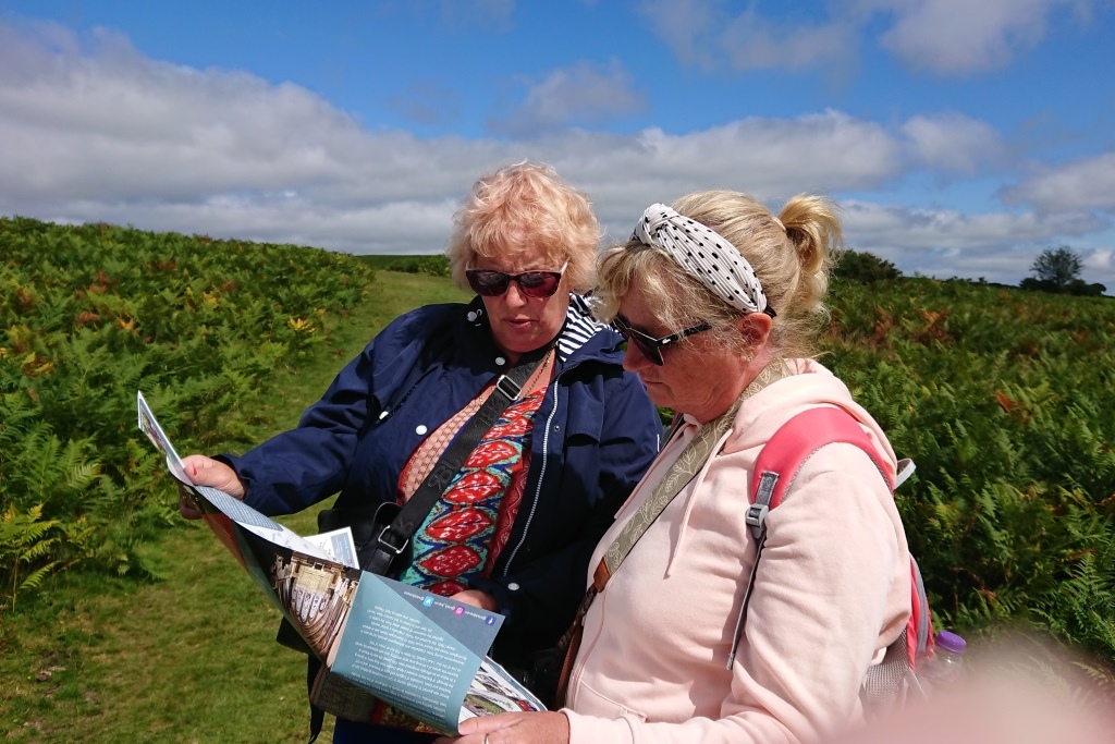 Where to now - the Brecons
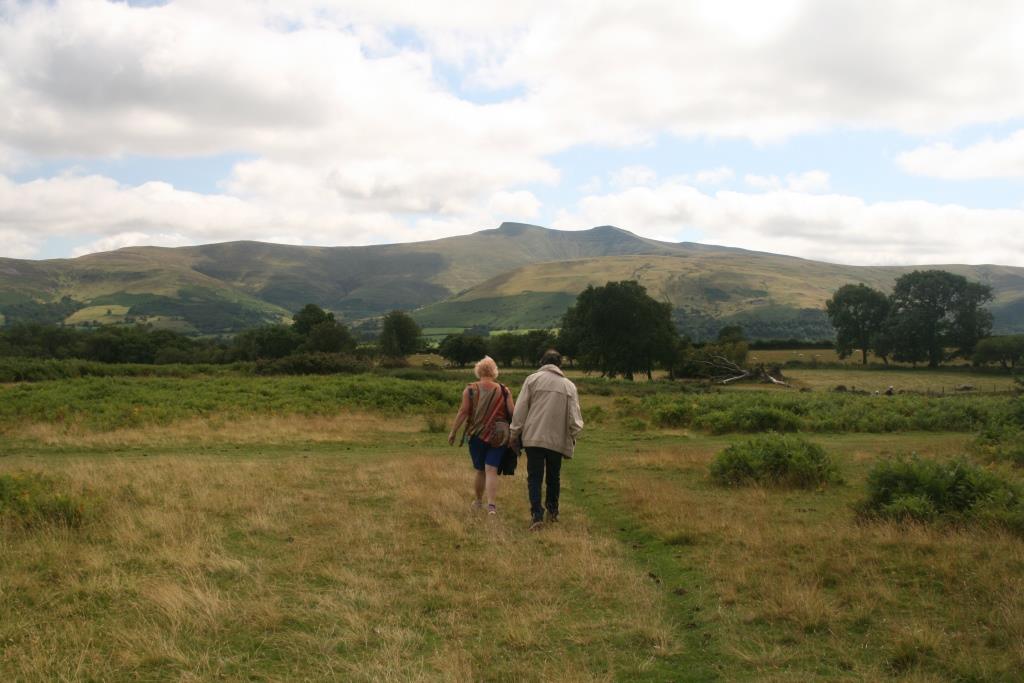 Not that way!
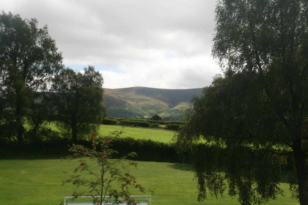 The Beacons in the distance
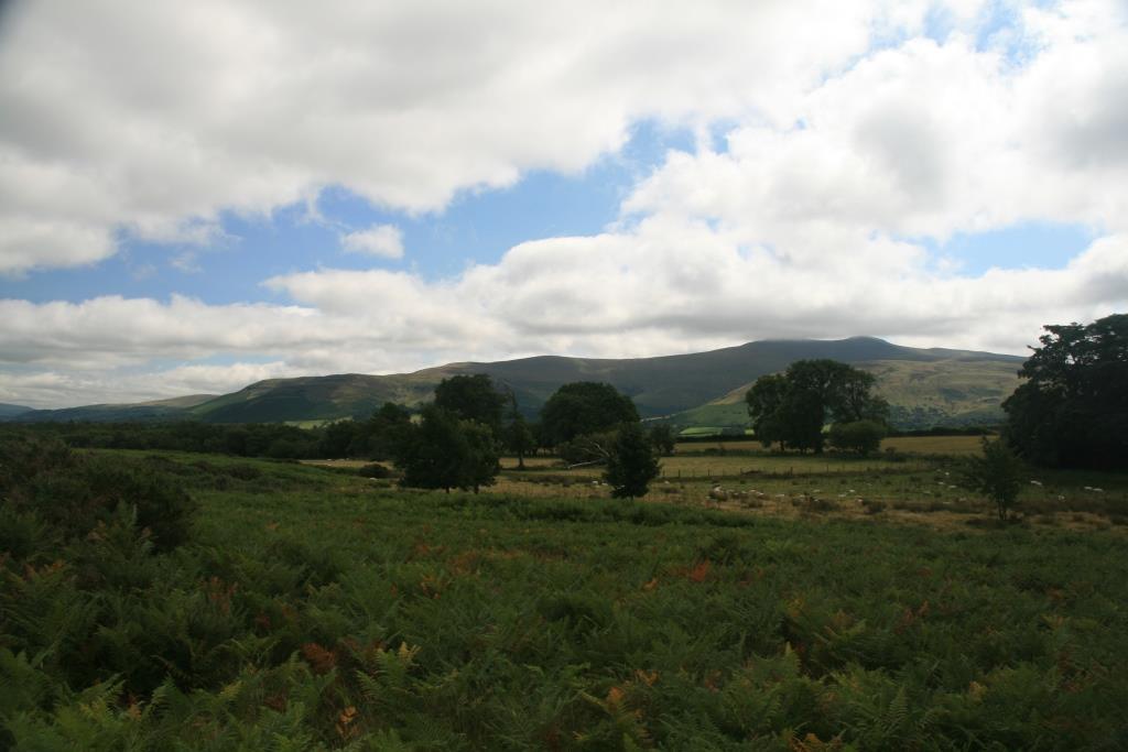
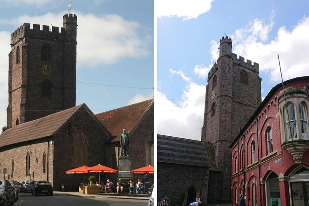 St Mary's Church, Brecon, built 14th to 15th century, restored 1857
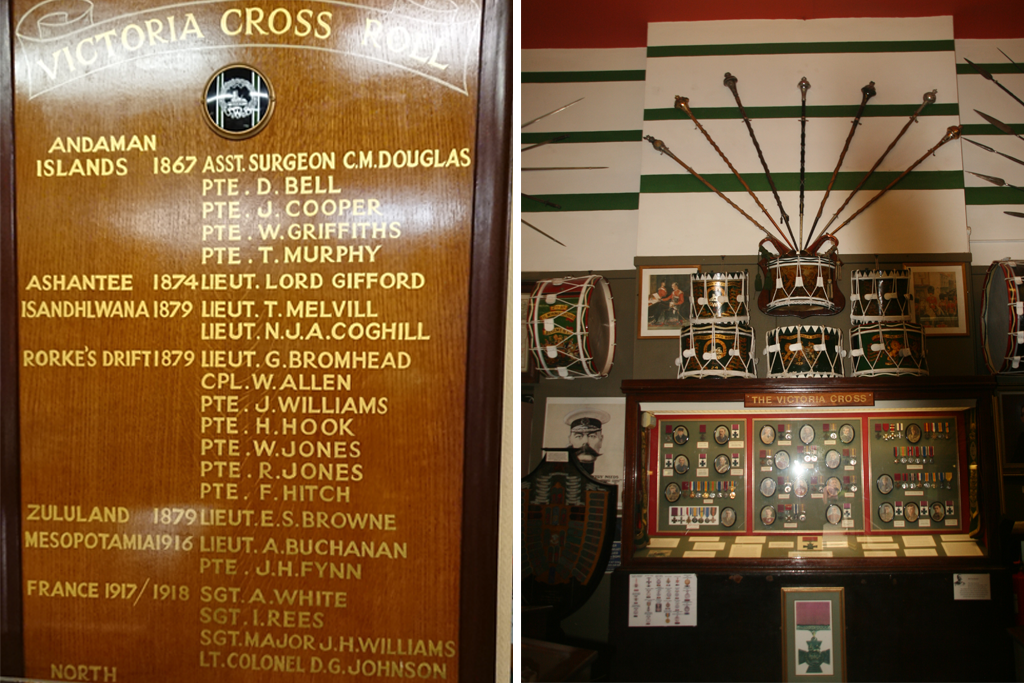 Regiment personnel awarded the Victoria Cross (note 7 of the 10 awarded for the defence of Rourkes Drift)
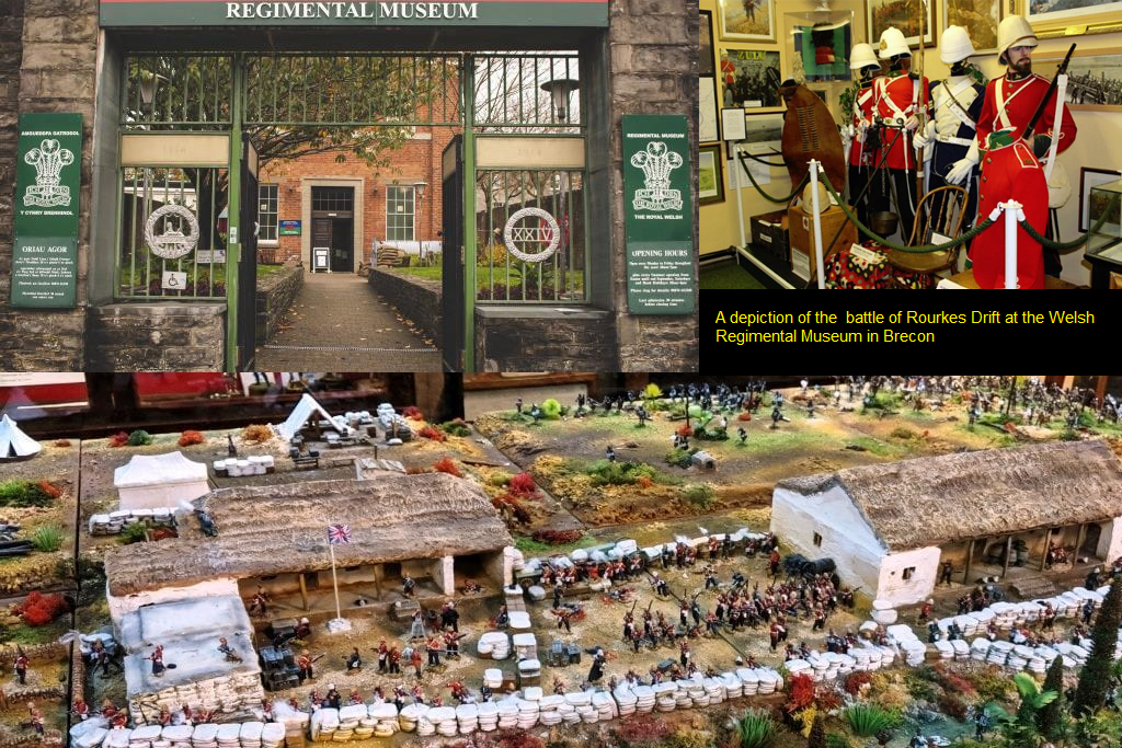
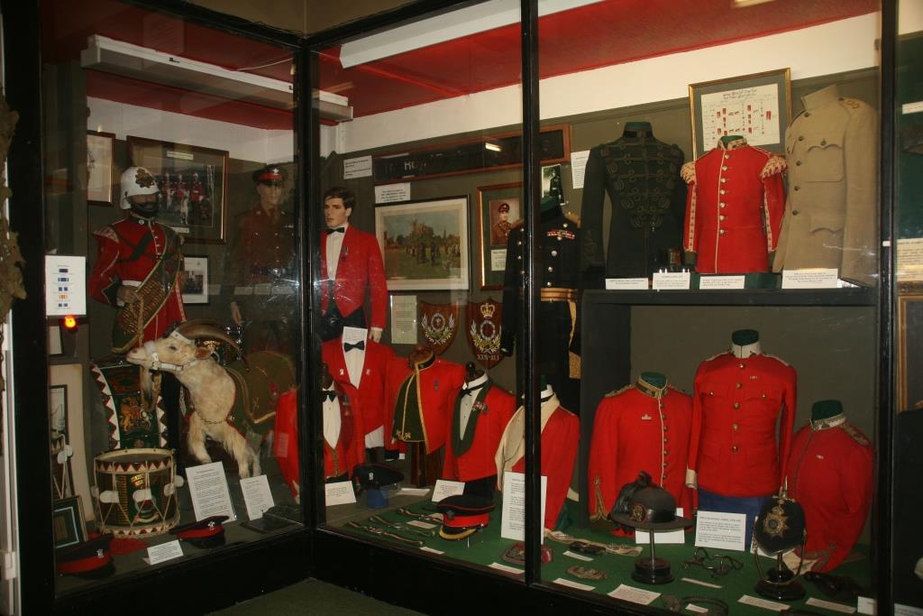
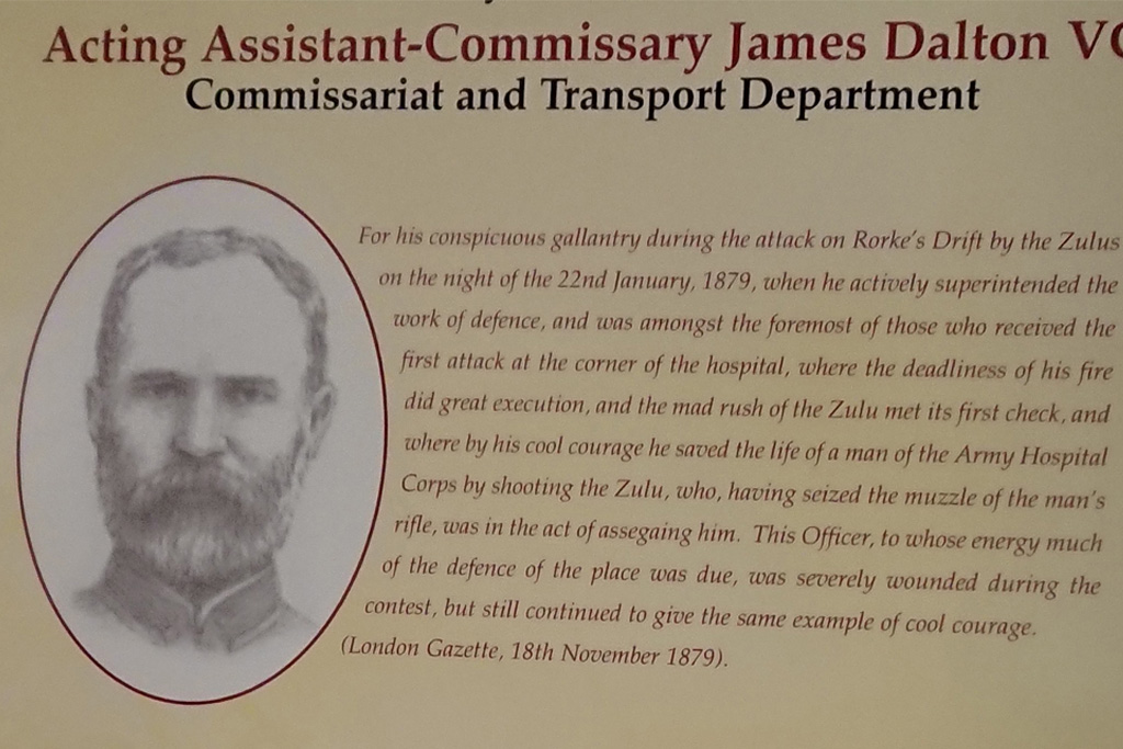 One of the 11 citations for bravery at Rorkes Drift that led to the award of a Victoria Cross
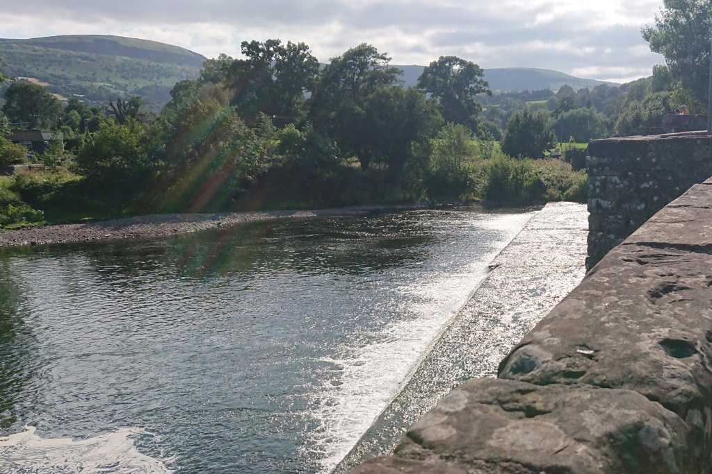 The famous bridge at Crickhowell.
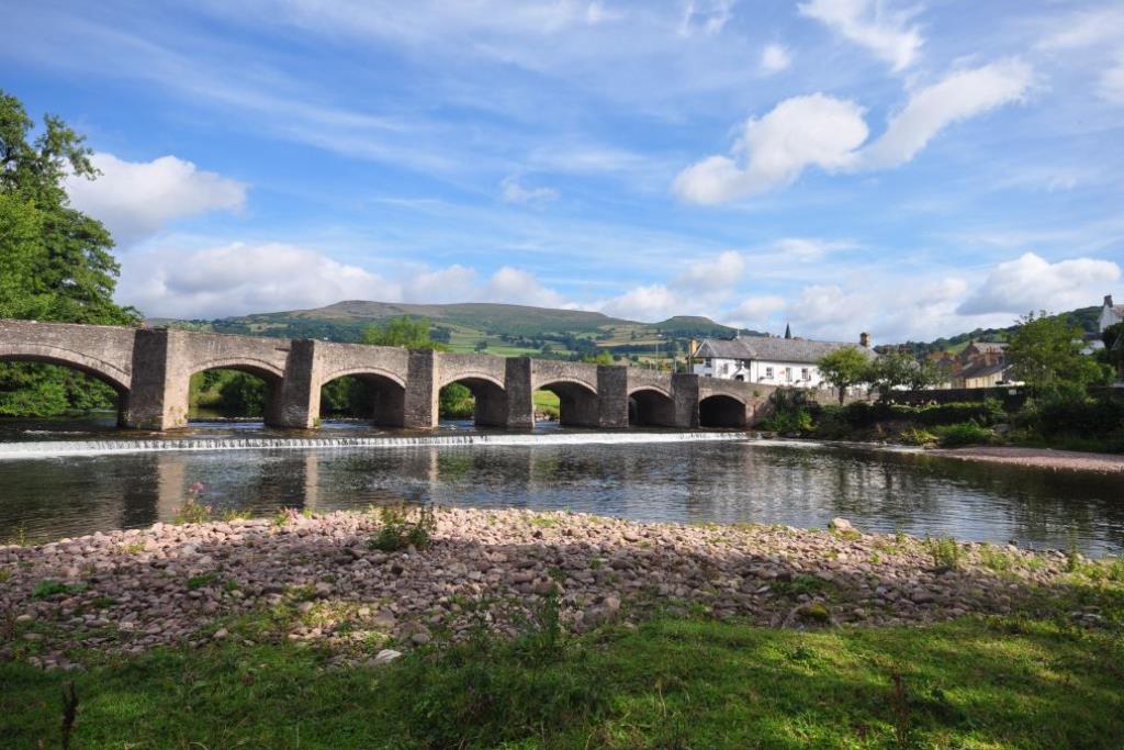 Due to poor positioning I was unable to get a good photo of the bridge, so got this from the internet
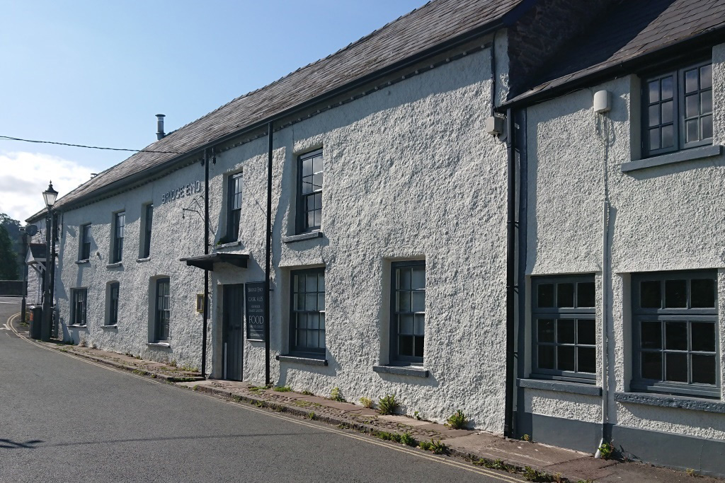 The Bridge End Inn at one end of the bridge was severely devastated by floods during Storm Dennis in February 2020 and is still closed
 Last Slide in Sequence